Article content
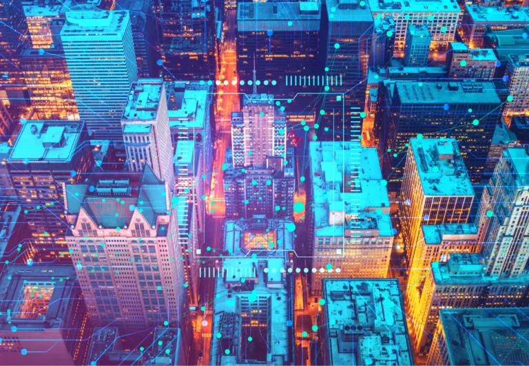
The integrated municipal geoinformation system of Kazan city, created on the basis of Geometa, is designed to solve the city problems associated with the processing of spatial data. This is a single source of comprehensive information about the territory.
The system allows the leadership of Kazan city in a convenient and understandable form to receive up-to-date information on the state of the urban environment and on the administration of land resources, visualize the city needs, help to make decisions on infrastructure development and to determine the necessary amount of funding for municipal programs and city projects.
The system is used by investors interested in business development in Kazan. They receive legitimate information about the possibility of implementing their projects. Thus the system contributes to the investment attractiveness of the city.
Moreover, the system contributes to the reduction of mandatory procedures terms in construction, helps to synchronize the plans of conducted works, which leads to savings in investment and budgetary funds. Construction is a high-budget area of activity where the optimization of resources is extremely important.
The system contains full functionality to support urban planning activities: characteristics of all capital construction projects, documents, data on urban planning, zoning, information on land parcels and land rights. To date, 100% of municipal services related to construction are automated through the system.

The development of the system continues, its functionality is expanded by analytical tools that visualize various aspects of managing the processes of city territory modernization. Data on the population number and density is compared with data on the location of social, recreational, and transport infrastructure facilities to identify the points of greatest unmet demand for urban facilities.
Calculable, quantitative indicators allow to reduce managerial errors since decisions are made based on data, not just on experts’ opinion.
In a city with a population of one million, there are a huge number of control objects, they are interdependent. So the effective city management is an extremely non-trivial task. Modern cities compete with one another to attract the best minds, talents, businesses and capital, and it will not be possible to win the competitive race without the help of advanced technologies.